
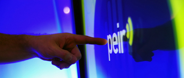
Collaborator on Mobile Participatory Sensing Project: PEIR, the Personal Environmental Impact Report, is a participatory sensing application that uses location data sampled from everyday mobile phones to calculate personalized estimates of environmental impact and exposure. It is an example of an important class of emerging mobile systems that combine the distributed processing capacity of the web with the personal reach of mobile technology. The PEIR system, includes mobile handset based GPS location data collection, and server-side processing stages such as HMM-based activity classification (to determine transportation mode); automatic location data segmentation into “trips”; lookup of traffic, weather, and other context data needed by the models; and environmental impact and exposure calculation using efficient implementations of established models. Additionally, the user interface components of PEIR present usage statistics for users in relation to their social network. See the PEIR publication (below) for a complete description. PEIR was demoed at WIRED NextFest in Chicago’s Millenium Park.
View: PEIR demo by Jeff Burke on YouTube
Read about PEIR on Wired Science
PEIR Publication: Mun M, Reddy S, Shilton K, Yau N, Burke J, Estrin D, Hansen M, Howard E, West R, Boda P. (2009). PEIR, the Personal Environmental Impact Report, as a Platform for Participatory Sensing Systems Research. Mobisys 2009: Proceedings of the 7th International Conference On Mobile Systems, Applications And Services, pp. 55 – 68.